Multidimensional Sensing for 24/7 All-Weather Operations
Raytron harnesses multidimensional sensing—infrared thermal imaging, microwave and laser—to penetrate darkness, rain and fog, enabling UAVs and civil-use drones to operate 24/7 in all weather. It offers high-reliability solutions for logistics delivery, power-line inspection and surveying, boosting low-altitude operation efficiency and cutting accident rates.

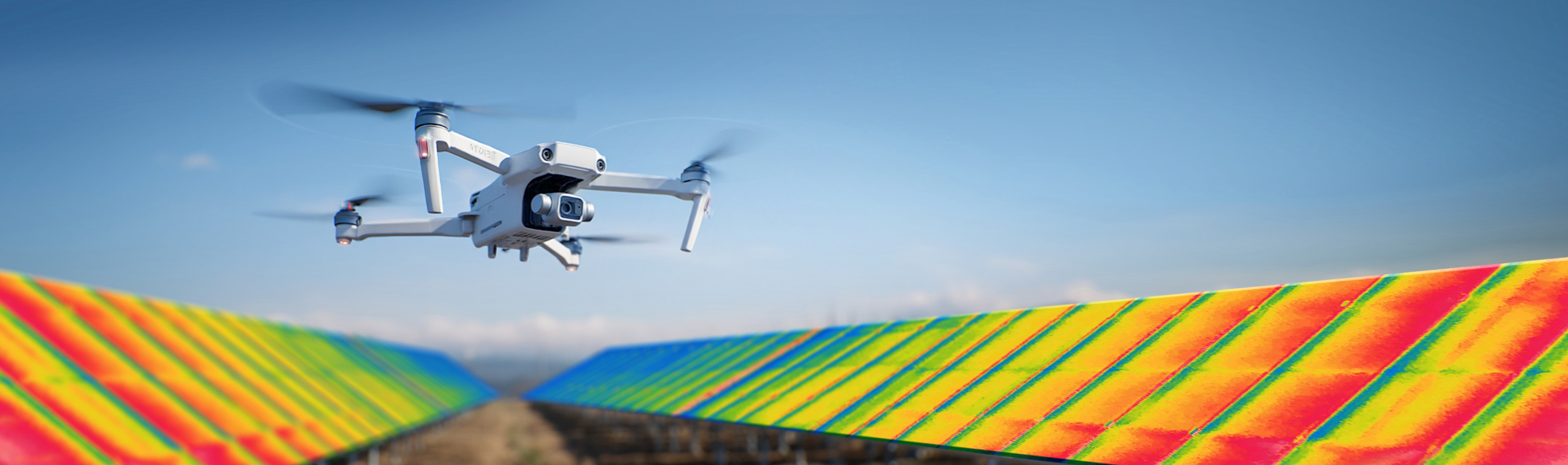
Unmanned aerial vehicles (UAVs) equipped with infrared thermal imagers offer high efficiency, precise temperature measurement, and extensive coverage. By generating real‑time thermal imagery and leveraging defect‑analysis software for anomaly detection and localization, they can promptly identify risks such as micro‑cracks, busbar interruptions, hot spots, poor electrical contacts, and module deformation, thereby enhancing inspection throughput and the accuracy of fault diagnosis.
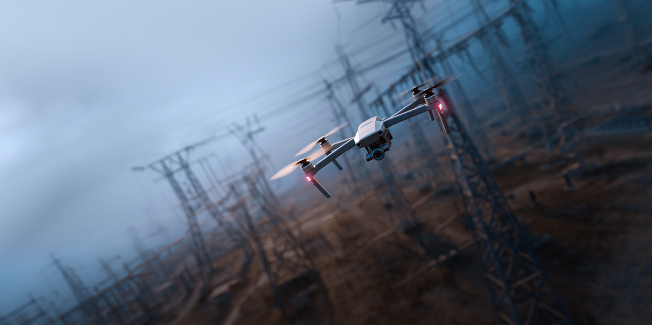
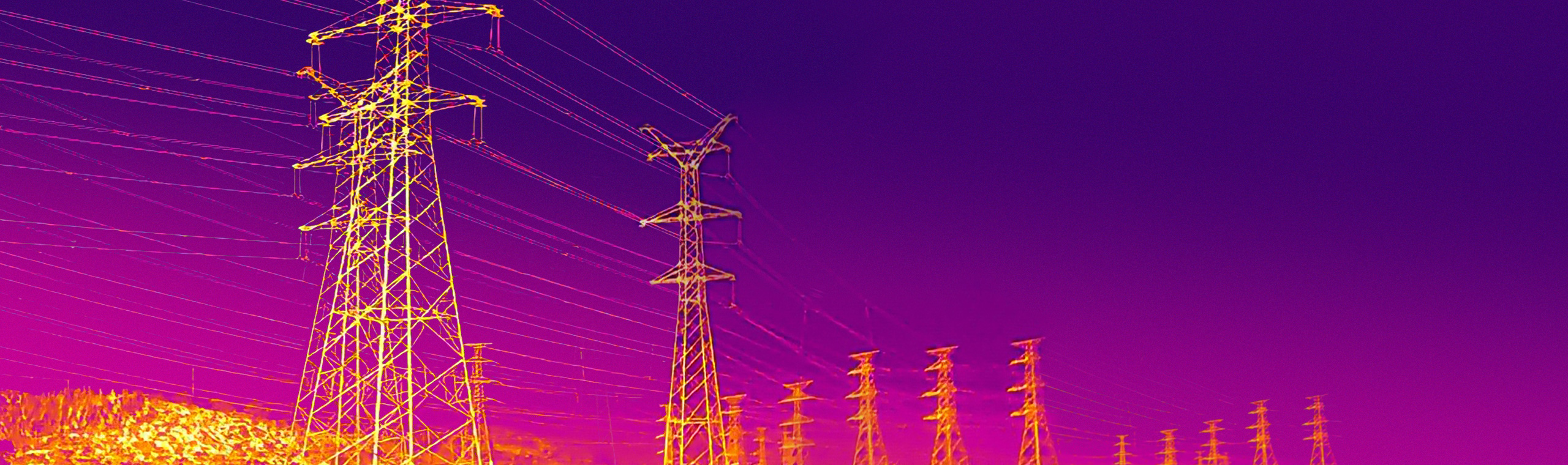
Unmanned aerial vehicles (UAVs) equipped with infrared thermal imagers are unaffected by light and space, enabling wide‑area scanning of power grid assets without shutdown. They deliver real‑time thermal maps and video, accurately pinpoint hotspots and defects, and realize enhanced safety, greater efficiency, and reduced operational cost.
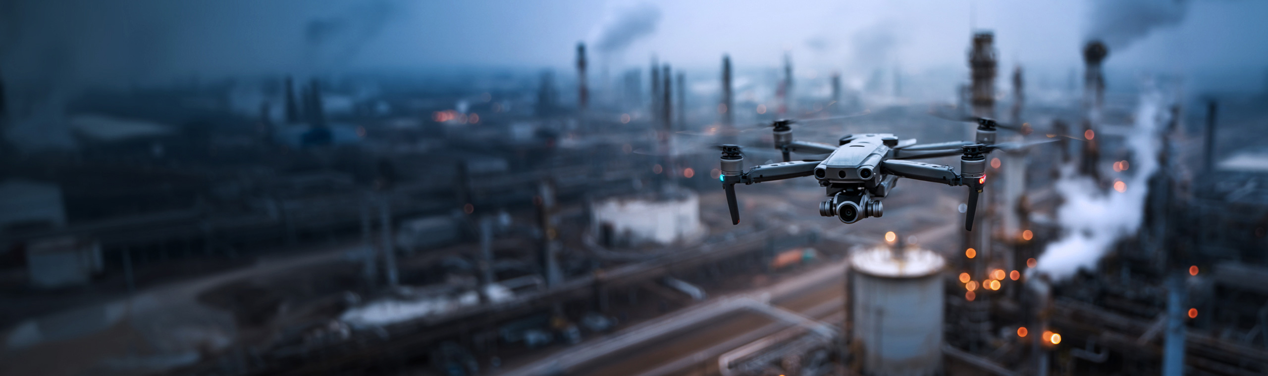
By deploying infrared thermal imaging drones for nocturnal surprise inspections, authorities can verify the operational status of wastewater and exhaust treatment facilities, detect whether production equipment is active, and identify any unauthorized emissions, ensuring that environmental violations are swiftly uncovered and addressed.