2026 Thermal Guide: Choosing the Right Thermal Imaging Modules for Civilian Drone
As civilian drones take on industrial tasks such as power line inspections, emergency response, and search rescue, the limitations of relying on a single sensor become increasingly apparent.
Visible-light cameras: Struggle in low light, smoke, and strong backlighting
Thermal imaging cameras: Detect heat signatures even in complete darkness, but lack inherent distance-measuring capabilities.
Laser rangefinders: Deliver precise distance measurements but lack visual imaging capabilities
By combining visible-light imaging, thermal imaging, and laser ranging, civilian drones can overcome these limitations and gain a more complete picture of their surroundings —improving target visibility, more accurate distance measurements, and positioning accuracy.
Power Line Inspection: From Hotspot Detection to Distance Measurement
Nighttime power line inspections require crews to detect overheating at connectors, identify potential insulator defects, and pinpoint the affected tower and component. For industrial drones with a payload capacity of 500–800 g, a typical setup combines visible-light imaging, thermal imaging, and laser ranging.
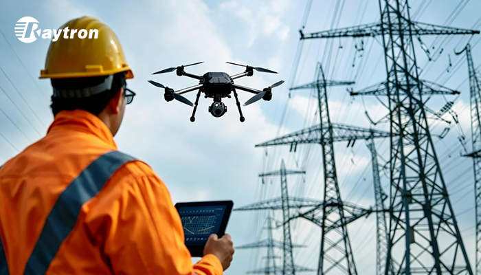
Visible-light imaging provides an overview of the tower and helps inspectors identify structural components.
Thermal imaging detects abnormal heat in connectors, insulators, and other electrical components.
Laser ranging measures the distance a target, supporting precise localization and GIS mapping.
The WN2 measures temperatures from -20°C to 650°C, with an accuracy of ±2°C or ±2%. Its DVP, BT.656, USB 2.0, and MIPI interfaces support integration with a range of drone platforms. By detecting temperature anomalies in components such as connectors and insulators, the module helps inspectors identify potential faults before they lead to equipment failure.
Emergency Rescue: Smoke Penetration & Long-Range Detection
Search and rescue operations following earthquakes, building collapses, and wildfires take place in low-visibility conditions and rugged, hard-to-access terrain. A lightweight three-sensor configuration, designed for drones with a 300–500 g payload capacity, offers a practical solution for rapid deployment in demanding rescue scenarios.
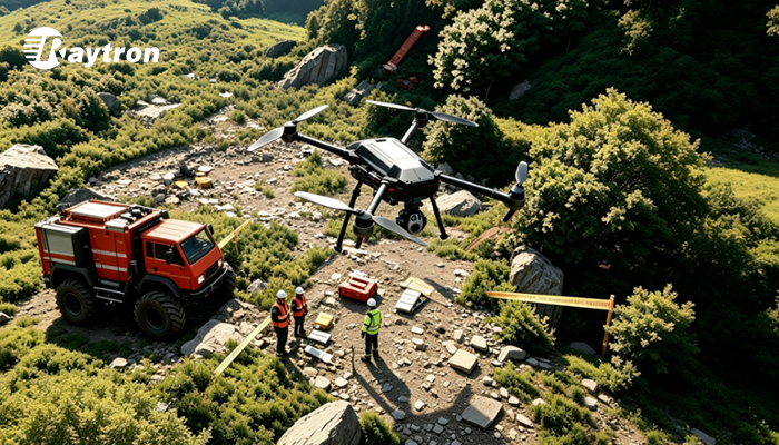
With a NETD of ≤30 mK, the Raytron SE5 640 captures subtle temperature differences, helping rescuers detect potential survivors in low-visibility conditions. Its lightweight design suits compact drone platforms, while BT.656, MIPI, USB 2.0, and DVP interfaces simplify system integration. Paired with three-axis stabilization, it delivers more stable thermal imagery over rough terrain.
Wilderness Search & Rescue: Multi-Modal Survivor Detection and Terrain Mapping
Search and rescue missions across mountainous terrain, dense forests, and offshore areas present significant challenges, from harsh environmental conditions to difficult access and limited visibility.
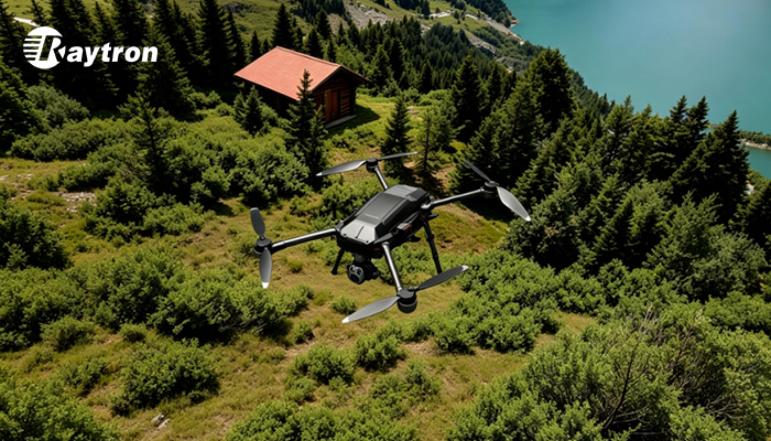
For drones with a 500–800 g payload capacity, a rugged three-sensor configuration integrates visible-light imaging, thermal imaging, and laser ranging to support survivor detection and precise distance measurement for terrain assessment. Designed for demanding field conditions, the platform can operate in strong winds, supporting search and rescue missions in challenging environments.
Built for demanding field conditions, the Raytron WN2 640 operates across a wide temperature range of -40°C to 80°C and offers high resistance to shock and vibration. Tested to withstand 6.06 g of random vibration across all axes and 1,000 g shock along the optical axis (0.3 ms), it is built for demanding search and rescue operations in rugged terrain and extreme temperatures.
Why Choose Raytron Thermal Imaging Modules for Civilian UAV Applications?
Comprehensive Product Portfolio: From SWIR, MWIR, and LWIR imaging to laser ranging, Raytron offers a broad range of sensing solutions for civilian UAVs.
Thermal Imaging Modules: Resolutions range from 256 × 192 to 1920 × 1080, with 8 μm and 12 μm pixel pitches and a choice of lenses and interfaces.
Extensive Integration Experience: With years of experience in thermal imaging and system integration, Raytron has supplied solutions to drone manufacturers across a range of civilian applications.
As a leading global supplier of core components and subsystems for multimodal sensing, Raytron combines a diverse product portfolio with deep system integration expertise to accelerate the development and deployment of drone solutions for commercial and industrial applications.